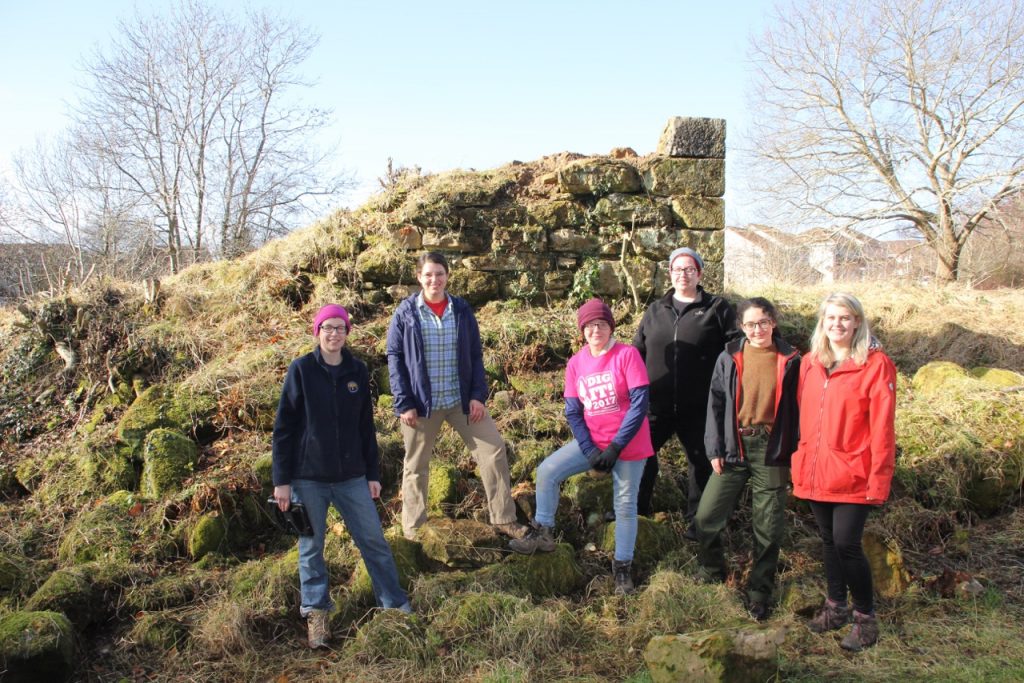
Over the summer of 2018, the Gorebridge Community Development Trust commissioned a geophysical survey as part of Phase I of the Adopt a Monument scheme run by Archaeology Scotland. This was carried out by Rose Geophysical Consultants with the intention of discovering if their is any evidence of further structures relating to the castle below ground level. Local volunteers were involved at all stages of the survey.
In order to achieve this Resistance and Ground Penetrating Radar was used – which uses radar pulses to image below the surface.
The key findings are laid out below:
- Directly to the North of the castle, high levels of background response was recorded. Due to their location in relation to the castle this may suggest contemporary structures underground. However, due to various activities associated with the site since the demolition of the castle, including path laying, planting, and the demolition itself, it is possible that this is modern material.
- The North West of the site was of great interest to archaeologists. The response to the RGPR showed quite clear rectilinear (straight lines at angles to one another) structures below the surface. The structured nature of the response, and its position within the site may hint at use by the castle itself.
- The current ‘ground level’ surrounding the castle is not the ground level as it existed in the castles day. this means features of the castle remains themselves (such as gun holes) may still be in a standing condition.
As a result of the survey, options are now being explored to find out more about the structure historically, and the physical remains that are present either above or below the surface.


